



| IN A NUTSHELL |
|
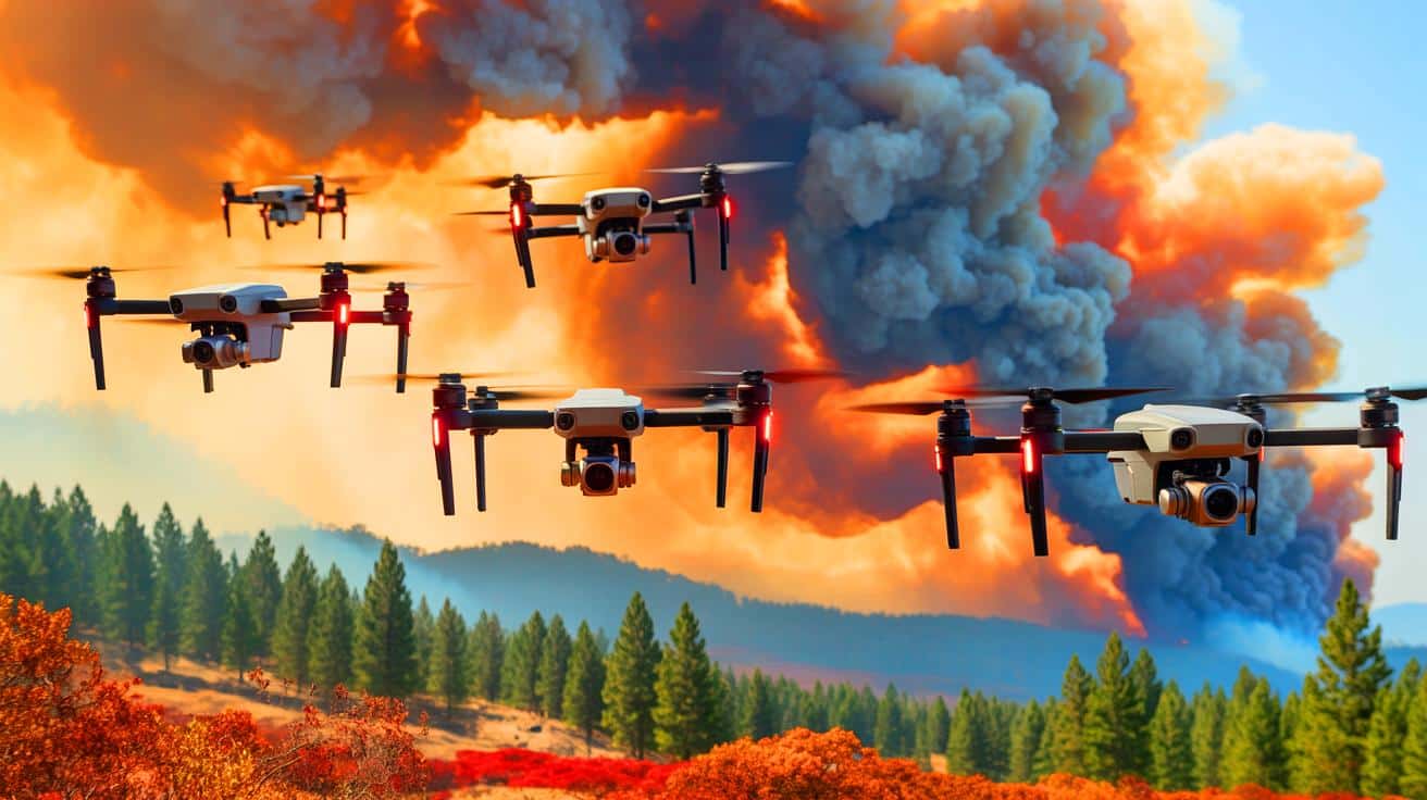
Recent advancements in drone technology have brought about a significant change in how we understand and respond to wildfires. Researchers at the University of Minnesota Twin Cities have developed a cutting-edge system involving swarms of aerial robots. These drones are equipped with artificial intelligence and specialized sensors to track and analyze wildfire smoke plumes in real time. This breakthrough could dramatically improve our ability to predict where smoke will drift, ultimately enhancing air quality forecasts and public safety measures.
Harnessing Technology for Fire Management
Wildfire smoke presents a complex challenge for scientists and emergency responders. It can travel hundreds of miles, impacting air quality in areas far removed from the original fire. The difficulty lies in accurately predicting smoke dispersion. Traditional satellite-based methods, while useful, often lack the resolution needed to capture detailed data on smoke behavior. The newly developed aerial robots, however, offer a promising solution.
The innovation behind these robots lies in their ability to fly directly into smoke plumes, collecting data from multiple angles. By doing so, they build 3D reconstructions of the smoke. This high-resolution data collection is pivotal in understanding how smoke particles move and disperse through the atmosphere. The drones’ advanced AI capabilities enable them to recognize smoke and respond accordingly, providing real-time insights that were previously unattainable.
According to Jiarong Hong, a professor at the University of Minnesota, understanding the composition and dispersion of smoke particles is a critical step. Smaller particles, in particular, can travel longer distances and remain suspended in the air for extended periods, affecting air quality far from the fire source. This underscores the need for the kind of detailed analysis that these drones can provide.
Data to Improve Fire Response
Over the past decade, incidents of wildfires triggered by prescribed burns have highlighted the limitations of current smoke management tools. Between 2012 and 2021, 43 wildfires were ignited in the United States due to such controlled burns. These events highlight the necessity for more reliable predictive models and field observations.
The researchers’ system addresses these gaps by offering real-time tracking and flow pattern analysis of smoke plumes. By employing techniques like Digital Inline Holography, the drones can characterize particles with precision.
This approach not only enhances simulations but also informs hazard response, providing critical data for improving predictive models
. Such advancements could significantly aid in guiding response efforts during wildfires.
Looking beyond wildfires, the researchers envision applications in monitoring other airborne hazards such as sandstorms and volcanic eruptions. The ultimate goal is to refine this technology into a practical tool for early fire detection, as emphasized by Hong. Early identification of fires allows for quicker response times, which can be crucial in mitigating damage.
Building on Earlier Drone Systems
The development of these advanced drones builds on previous work with autonomous drones capable of following smoke plumes using computer vision. The latest system improves upon this by coordinating multiple drones to track plumes more effectively. This coordinated approach enhances the overall data collection process.
The team is also experimenting with fixed-wing VTOL (Vertical Take-Off and Landing) drones. These drones can take off vertically and sustain flight for over an hour, making them ideal for wide-area surveillance. The extended flight capability allows for comprehensive monitoring, which is essential for capturing wide-ranging data on smoke plumes.
This project is a collaborative effort involving experts like Shashank Sharma and Srijan Kumar Pal from the Minnesota Robotics Institute. The integration of robotics with environmental science is paving the way for cost-effective tools that improve data accuracy and response times. By enhancing smoke tracking capabilities, communities and agencies can better address wildfire threats and reduce health impacts caused by airborne particles.
Future Implications and Challenges
While the advancements in aerial robotics and AI offer promising solutions, challenges remain in implementing these technologies on a large scale. The transition from experimental systems to practical, deployable tools requires further development and investment. Additionally, integrating these systems with existing wildfire response protocols will be crucial to maximizing their effectiveness.
The researchers are optimistic that these drones will soon become an integral part of wildfire management. Their ability to provide real-time, high-resolution data offers a significant advantage over traditional methods. The potential to extend their use to other environmental hazards further highlights their versatility.
As these technologies continue to evolve, they will likely play a vital role in enhancing our understanding of atmospheric phenomena. The ongoing collaboration between robotics experts and environmental scientists is a testament to the potential of interdisciplinary approaches in solving complex challenges. How will these innovations shape the future of disaster management and environmental monitoring?