


What a hurricane category does not tell you
The Saffir-Simpson scale ranks wind speed only. Storm surge, rain and timing often decide how dangerous a hurricane really is for coastal communities.
 By
Callum Fairbairn
By
Callum Fairbairn
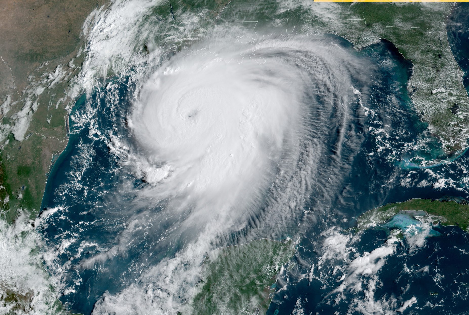
When a hurricane heads for a coastline, the headline number is usually its category. It is a useful shorthand, but it describes only one part of the danger. Understanding what the categories mean, and what they leave out, explains why forecasters and emergency officials keep repeating the same advice every season: leave when told to leave, and do not judge a storm by its wind speed alone.
In brief
- It is a useful shorthand, but it describes only one part of the danger.
- The danger does not end at the beach.
- Communities with strong building standards, clear evacuation plans and well-practised warning systems consistently fare better, and the preparation that makes the difference is almost always done well before the first rain band arrives.
What the categories measure
The Saffir-Simpson scale ranks hurricanes from the weakest category to the strongest according to their maximum sustained wind speed. The upper categories are labelled major hurricanes, because the winds at that strength can cause devastating damage to well-built homes, strip roofs and bring down large numbers of trees and power lines. The scale says nothing about rainfall, the size of the storm or the sea level rise it pushes ashore. A slow, wide storm in a low category can be far more destructive to a coastal community than a compact, fast-moving one in a higher category.
That is one reason forecasters also stress that intensity can change quickly. A hurricane crossing very warm water can strengthen in a matter of hours, while wind shear, dry air or contact with land can weaken it just as fast. A storm that weakens before landfall is not necessarily a lesser threat: the surge and the wide wind field it has already built can still arrive even when the peak wind speed has dropped.
Why storm surge deserves special attention
Storm surge is the abnormal rise of sea water generated by a storm, on top of the normal tide. It is pushed by the wind and by the low pressure at the storm’s centre, and the shape of the coastline decides how high the water climbs. Shallow shelves, bays and river mouths can funnel water inland, which is why a few feet of surge can cover roads, flood ground floors and cut off barrier islands entirely.
Timing matters as much as height. Surge that coincides with high tide is more dangerous than the same surge at low tide, and the water can keep rising after the strongest winds have passed. Official guidance consistently treats surge as the threat that evacuation orders are meant to address, because moving water is hard to survive and impossible to outrun once the roads are flooded.
Rain, wind and tornadoes inland
The danger does not end at the beach. As a hurricane moves inland it usually weakens, but it can still drop heavy rain over a wide area, causing flash flooding in towns far from the coast and swelling rivers for days afterwards. Hurricanes can also spawn tornadoes, often in the outer bands and typically well away from the centre of the storm. Fallen trees and damaged lines mean that power cuts can last long after the weather has cleared, which is why households are urged to plan for several days without electricity, running water or mobile coverage.
Watches, warnings and what to do
The language of official alerts is precise. A hurricane watch means hurricane conditions are possible in a given area, and it is issued early enough to give people time to prepare. A hurricane warning means those conditions are expected, and it comes when time to finish preparations is running out. Surge watches and warnings follow a similar logic. Residents are advised to act on a watch, not wait for a warning.
The practical advice is stable from one season to the next:
- Know whether your home sits in an evacuation zone before the season begins, and know the route out.
- Keep important documents, medicines, a charged phone and a battery radio together in one place.
- Secure outdoor objects, and follow local guidance on whether to board up windows.
- Leave early if told to, rather than waiting for conditions to deteriorate.
- Stay out of floodwater, which can hide debris, live electrical cables and strong currents.
The wider picture
The Atlantic hurricane season officially covers the warm months, from early summer to late autumn, with activity usually peaking in late summer and early autumn. Seasonal outlooks can say whether conditions favour more or fewer storms, and large-scale climate patterns such as El Niño tend to influence how many form. Yet forecasters repeatedly warn that a quiet season does not mean a safe one: it takes only a single landfall to cause serious harm, and the outlook tells nobody where that storm will come ashore.
The most reliable information comes from the National Hurricane Center and from local emergency managers, who update forecasts and orders as a storm evolves. Their messages are written to be acted on, not just read. Reading a category number and concluding that a storm is manageable is a common misjudgement, and it is the one that the advice around surge, rainfall and early evacuation is designed to prevent. Communities with strong building standards, clear evacuation plans and well-practised warning systems consistently fare better, and the preparation that makes the difference is almost always done well before the first rain band arrives.
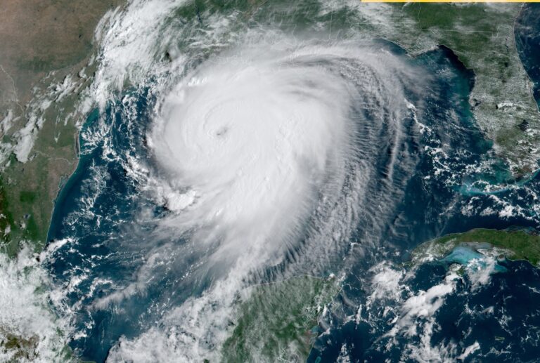
Featured image. Source: Wikimedia Commons. Credit: NOAA Satellites. License: Public domain.
Continue reading